Nessit & Buxters Hill – 7 miles, 2.5/3 hours, 1100′ Ascent
The route is recommended to be walked in dry weather as the peat path to Buxters Hill can become boggy.
Start: Teggsnose Reservoir Car Park – Grid ref: SJ 946 718.
Parking: There is a small free car park which can be accessed by passing through Langley via the Main Road and taking a left turn into Holehouse Lane. This leads to a track up to the dam head which is crossed to the car park. Do not park on the dam head.
Route Description
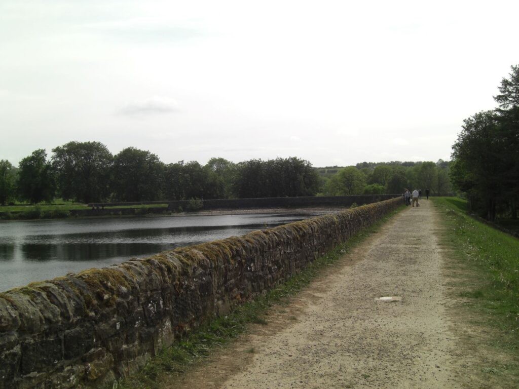
Cross over the dam head following the Gritstone Trail, pass through a gate and down steps to follow the path around the edge of Bottoms Reservoir.
Exit onto the road turning left, keeping to the narrow footpath for as long as possible. Upon reaching the end of the reservoir cross the road and take the farm lane on the right signposted Gritstone Trail.
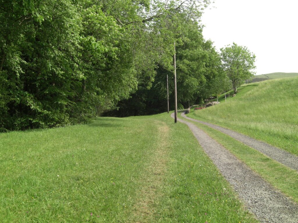
Cross the first cattle grid by using the kissing gate on the left and keep to the lower track at the fork. Cross a second cattle grid by a gate and step left off the track and onto the grass on the left to follow an indistinct footpath. Pass through a gated wall stile to a footbridge over a stream and then continue uphill via a series of steps.
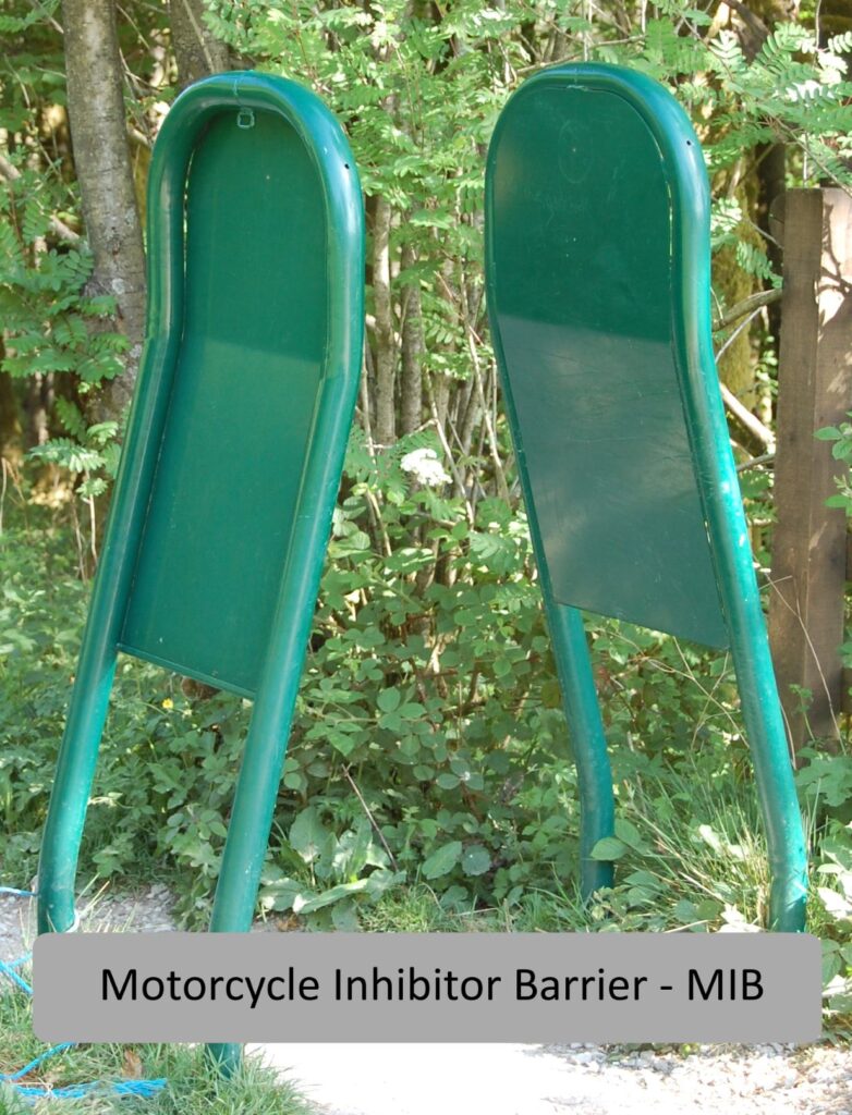
At the top of the path emerge onto an open grass area and limestone path, turn right. You soon arrive at an open section with a view of Ridgegate Reservoir. Continue along the path to a fork just past the top of a metal stairway. Take the right fork uphill and continue to a Motorcycle Inhibitor Barrier (M.I.B.) onto the road.
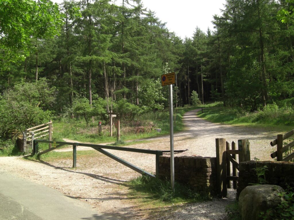
Continue straight along the road for 20/30m to a wide track on the right with a barrier and gates at either side. This track leads uphill all the way to the viewpoint on Nessit Hill, the climb taking approximately 20 mins.
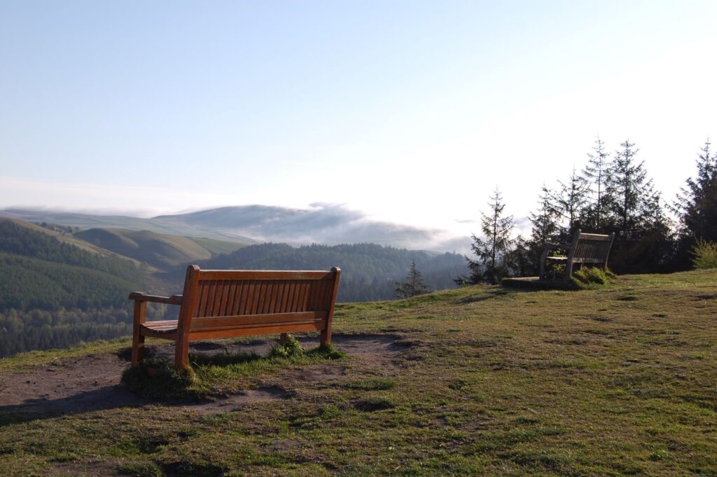
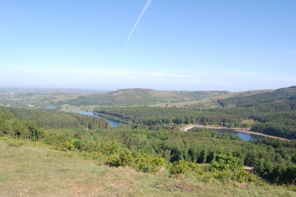
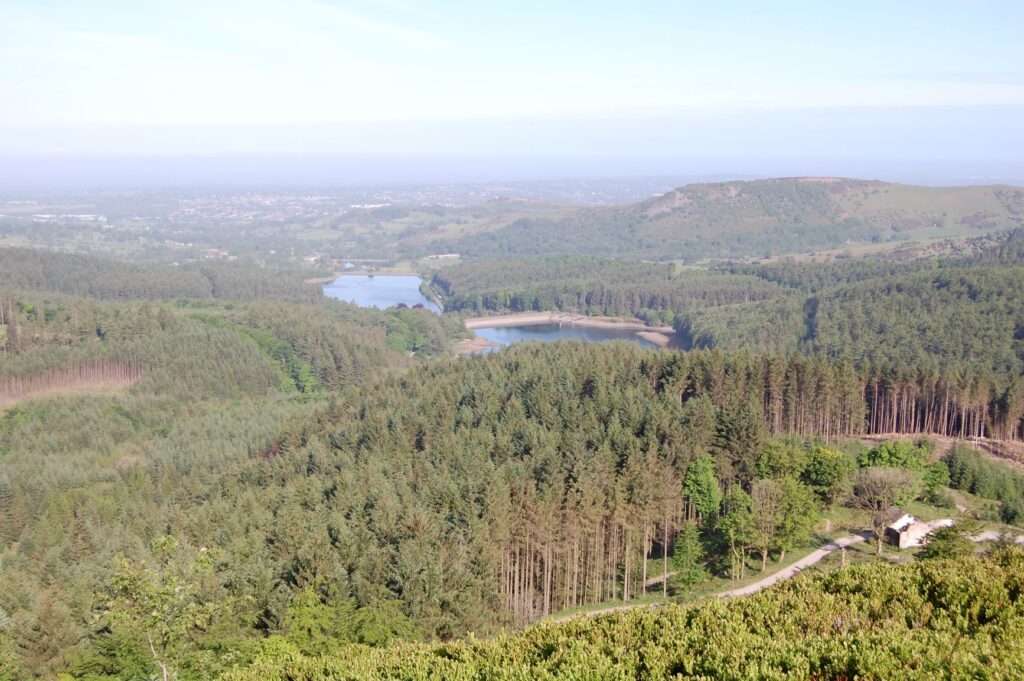
View from Viewpoint – Directly in front is Trentabank Reservoir Nature Reserve. Further left are Ridgegate and Bottoms Reservoirs. Just above Bottoms Reservoir you will see Teggsnose Reservoir, the far top corner being where the walk started.
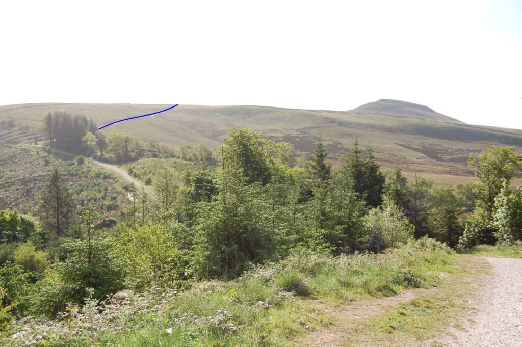
Return to the track and continue to where it starts to descend, at this point take a moment to look at the view and your onward route. At one o’clock you will see Shutlingsloe and hopefully be able to make out the summit Trig Point. At 10 o’clock is the main forest track and leading rightwards from this at an angle is the path that forms part of this walk.
Near the bottom of the descent take the indistinct path that starts behind the bench on the right hand side. This is a pleasant detour avoiding a section of track that gets busy with fast mountain biker’s attempting to maintain momentum for the climb to the viewpoint. At the next bench step onto the path and turn right arriving at the kissing gate onto the moor.
Go through the kissing gate and follow the path up over the brow of the hill towards a kissing gate in a wall. Approximately 10m before the gate turn left onto a broad peat path reinforced with plastic mesh and continue to a gated fence stile.
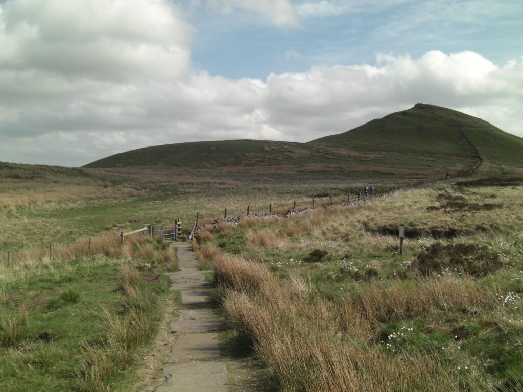
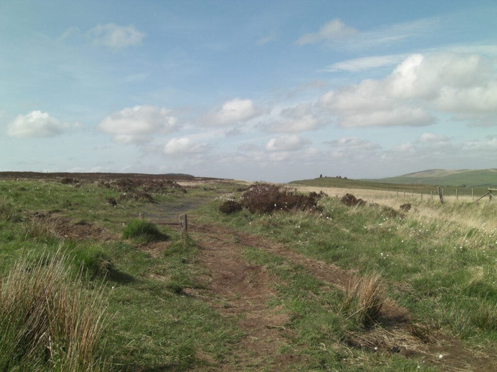
Peat Path
Once through the stile the path ahead can be seen rising to the summit of Buxtors Hill. Keeping left of the wall climb the hill crossing a traditional wooden stile and on to the summit (4.4 miles). On a calm, clear day this is a fantastic place to take a break with views of the reservoirs and Macclesfield beyond.
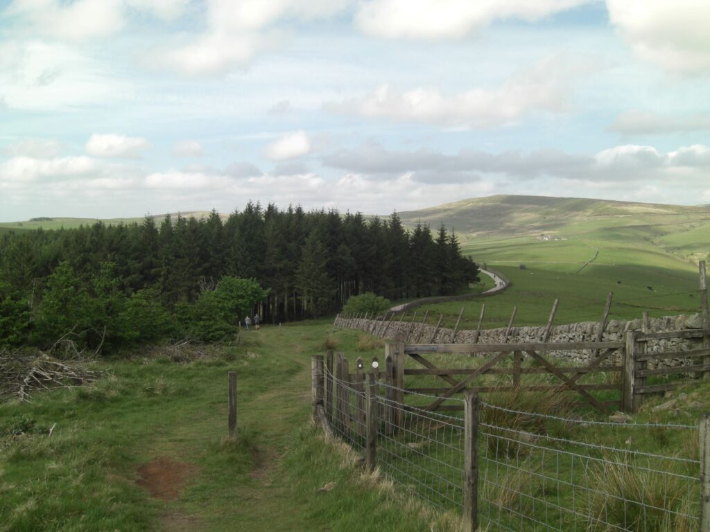
Continue on and follow the path down through a copse to join the main forest track, at this point bear right. The forest track is followed to a point just before a five bar gate where a kissing gate on the left signposted Trentabank is taken.
The path runs parallel to the road and descends quite steeply at times. At the next kissing gate cross the road diagonally to another kissing gate and follow a short section to a signpost for Trentabank taking you away from the road. At a small pond on the right once again follow the sign for Trentabank, turning left over a wooden bridge and an uphill leftward curving path. Do not take the right fork up and into the trees.
The path once again emerges onto the road which is crossed to a wall opening and path. Follow the path all the way to the Trentabank car park where toilets are located. On certain days The Forest Snug serves food and drink here. Continue on the path past the car park through a M.I.B. and gradually descend to a second M.I.B. at a road T Junction. Cross the road and go through another M.I.B. before turning left to take the path through the trees alongside Ridgegate Reservoir.
The path eventually opens out to give a clear view of the reservoir where you will once again see the set of metal steps passed on the outward journey. The route now retraces the first part of the walk.
When the footpath reaches an open grass area with a single tree and red walk marker post (*) turn left and descend to steps and a bridge before once again reaching the Gritstone Trail. Follow the trail back to the car park where you started the walk.
Note * At this point continue straight on to reach The Leathers Smithy an Inn serving good food and drink – 5 minutes walk.

